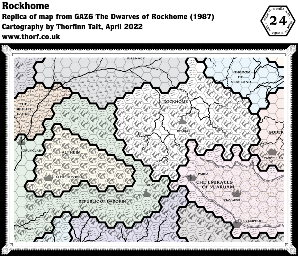
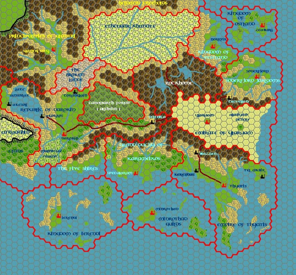
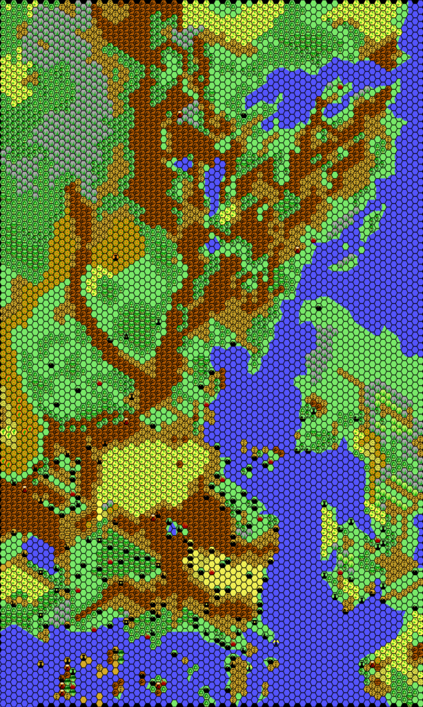
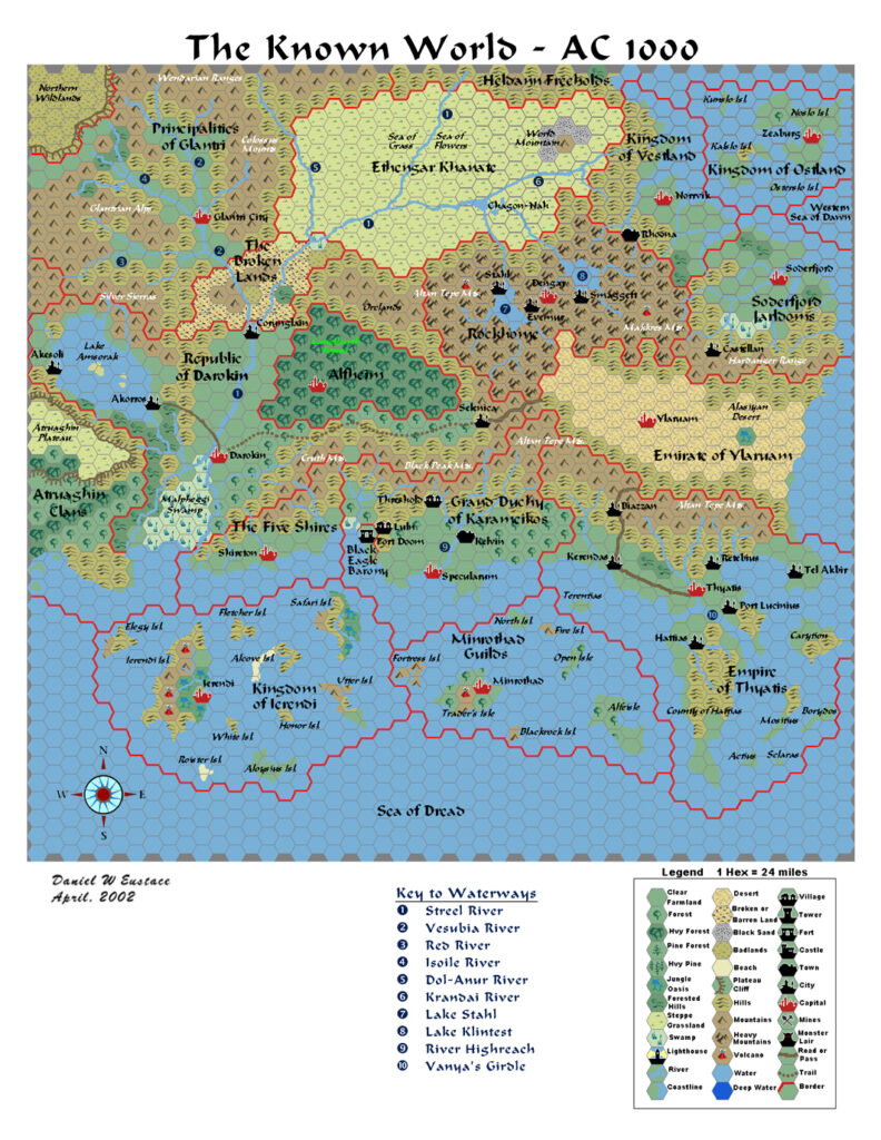
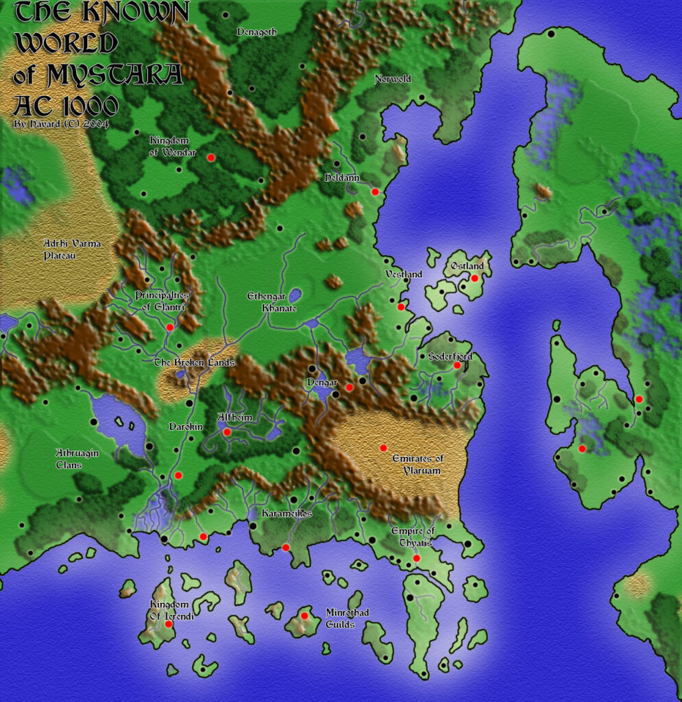
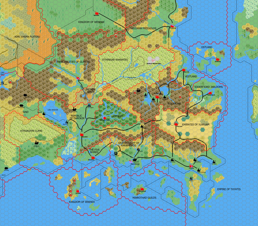
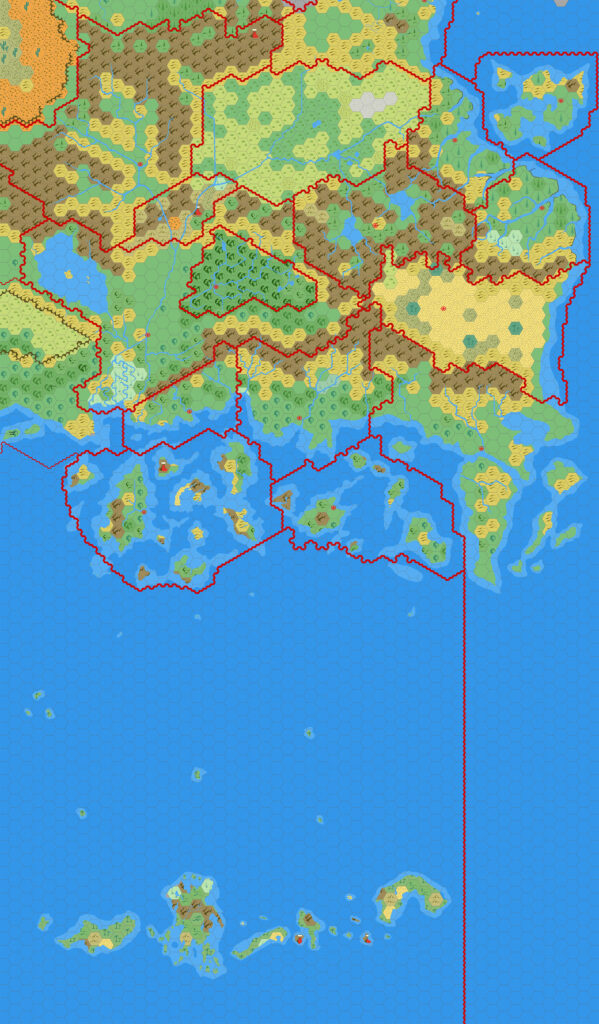
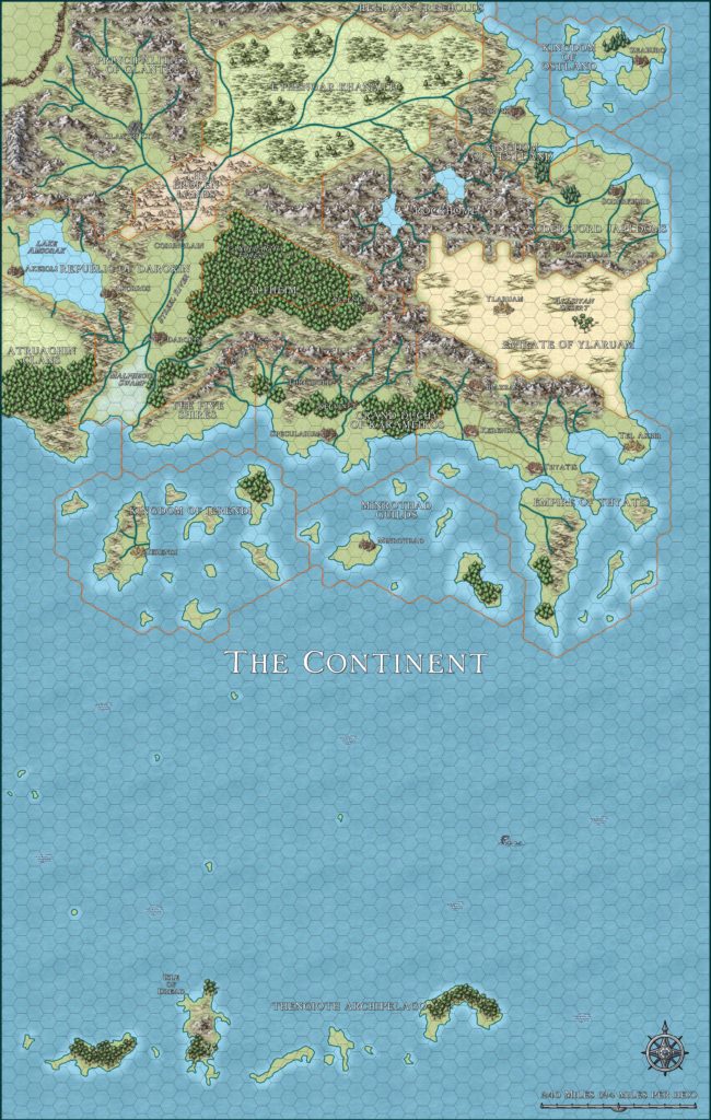
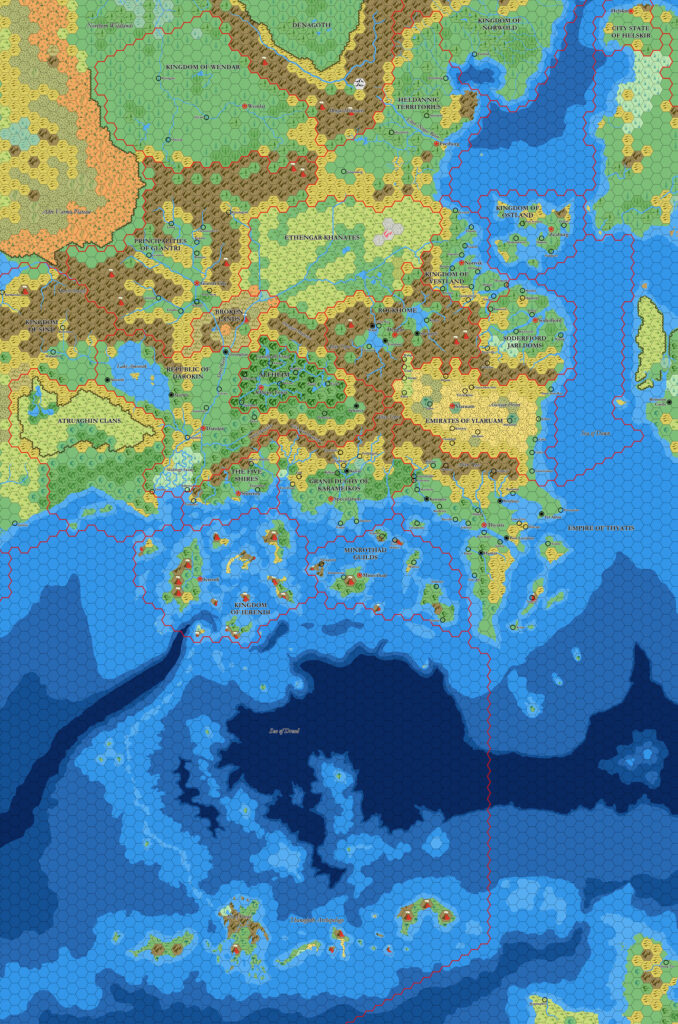
X3 Vestland, 24 miles per hex
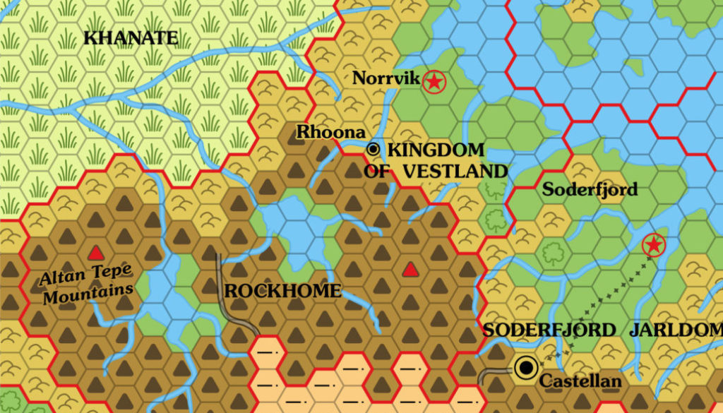
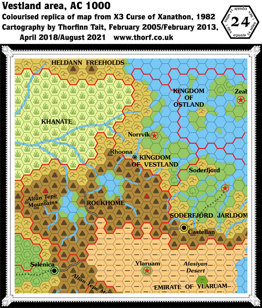
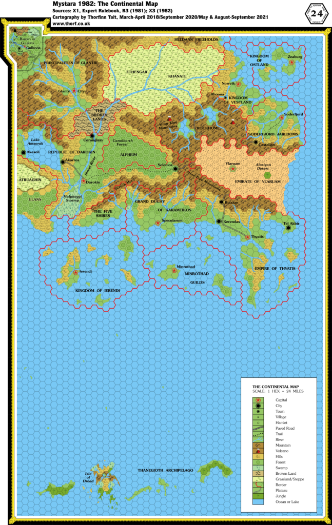
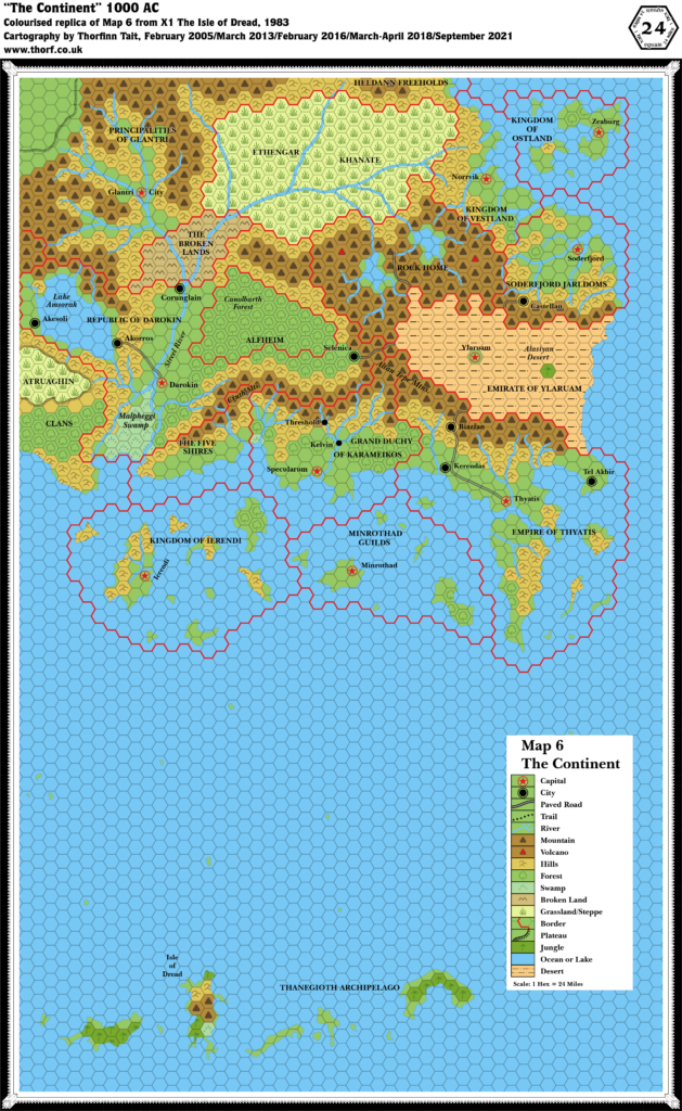
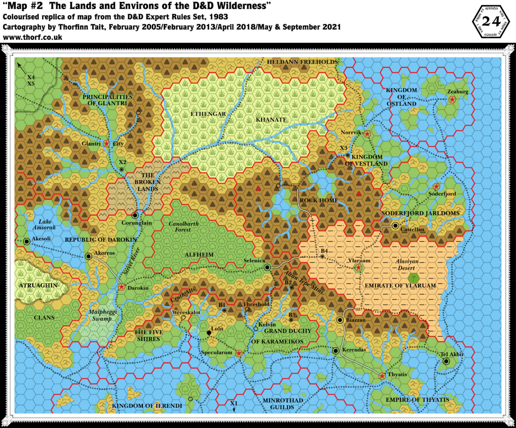
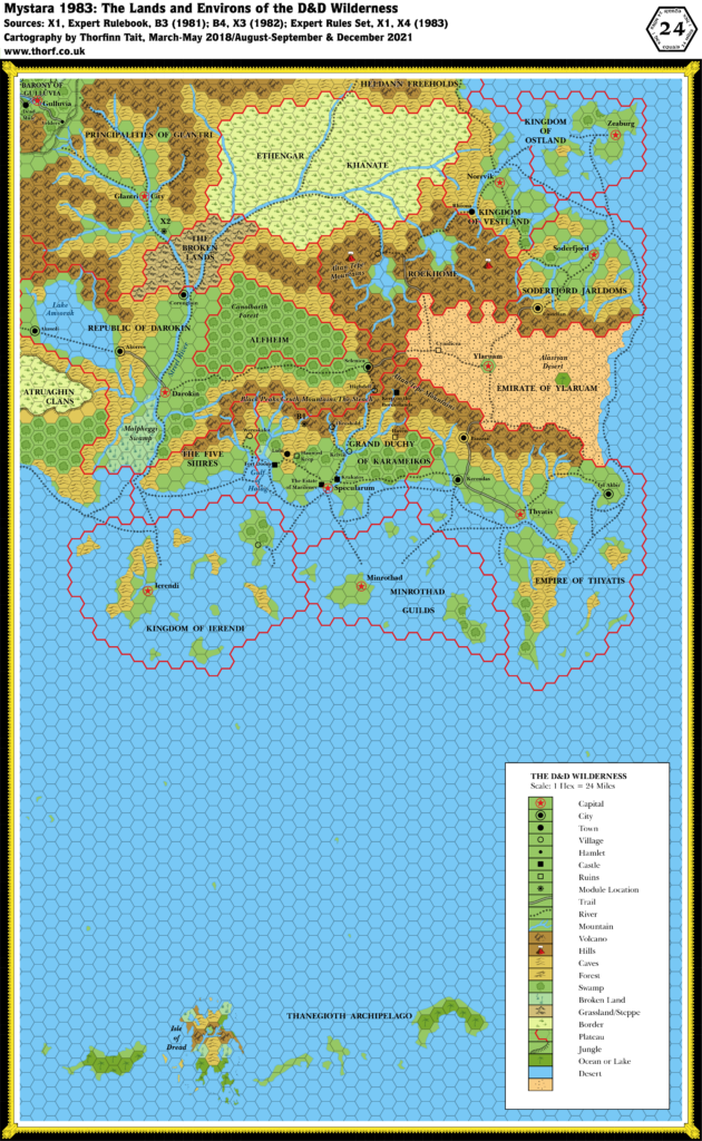
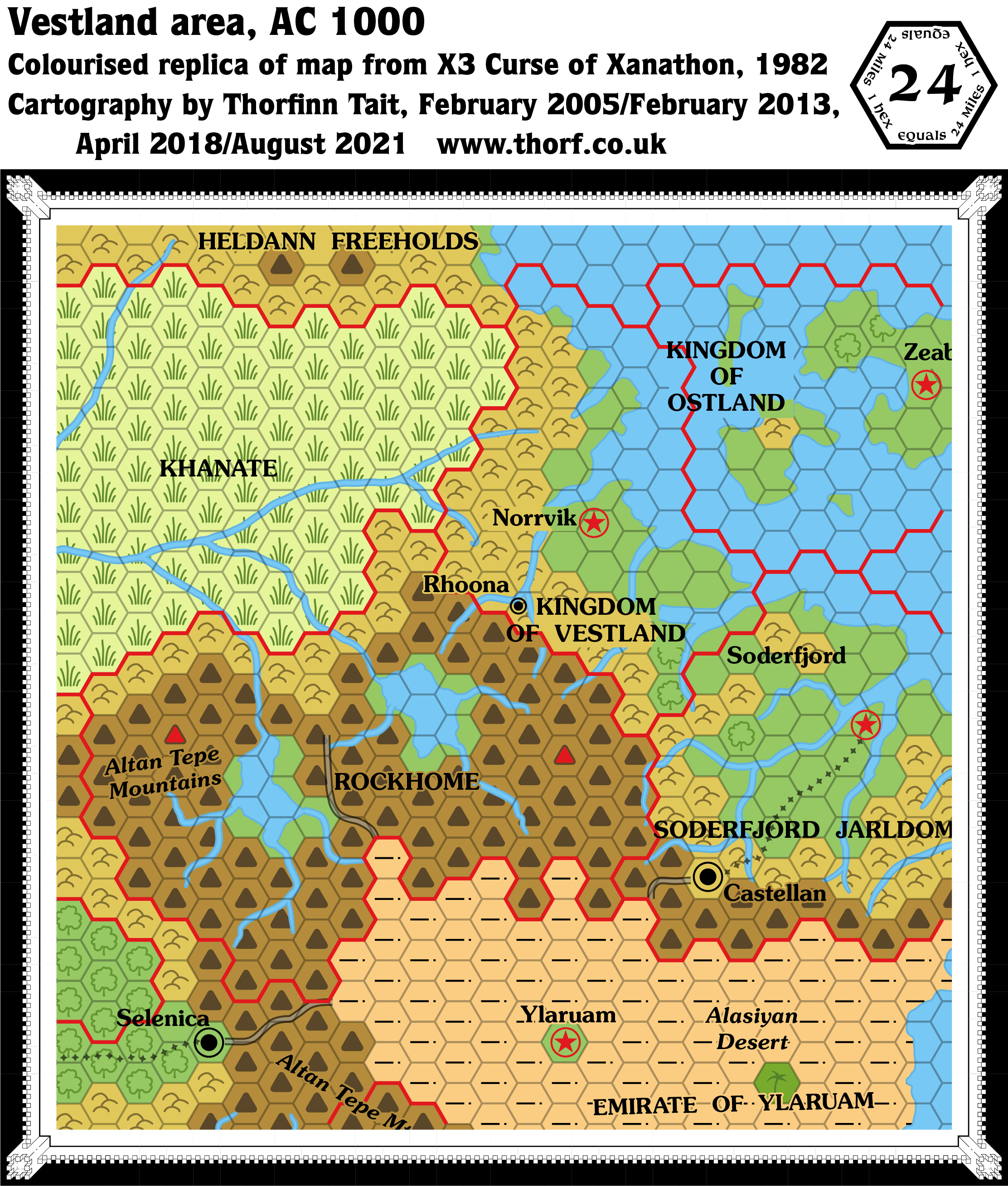
A very minor entry in the history of Known World maps, X3 reprinted a small excerpt from the original X1 Known World map, adding in the town of Rhoona.
Replica Map (August 2021)
Sources
- X3 Curse of Xanathon (1982) (PDF at DriveThruRPG)
- Page 3 map
Chronological Analysis
This is Map 7. It was published in 1982. The updated version of this map has not yet been released. See also Appendix C for annual chronological snapshots of the area. For the full context of this map in Mystara’s publication history, see Let’s Map Mystara 1981-1982.
The following lists are from the Let’s Map Mystara project. Additions are new features, introduced in this map. Revisions are changes to previously-introduced features. Hex Art & Fonts track design elements. Finally, Textual Additions are potential features found in the related text. In most cases, the Atlas adopts these textual additions into updated and chronological maps.
Additions
- Settlements— Rhoona.
Textual Additions (X3 1982)
- Fjords — Rhoona is said to be located “on a sheltered fjord nearly 100 miles from the sea”, suggesting that the transition between fjord and river occurs somewhere southwest of Rhoona. The shape of the coastline on the map supports this idea, with the fjord narrowing just as it arrives at Rhoona. (p. 3)
- Immortals — Cretia, the “god of the Ethengarians”, a “chaotic god” which the text describes as “grotesque” and “hideous” (X3 pages 4ab, 18a, 24b); Forsetta, one of the “major gods of Vestland”, a “Lawful Order” supporting “belief in authority” and “good deeds” (X3 page 3b); and The Spuming Nooga, a “neutral order” believing “that a person must strive against the circumstances of his life to make the best of a short existence” (X3 page 3b).
- Leaders — the current Duke is called Stephen Rhoona. (p. 3)
- Mountain Passes — “Many steep, treacherous and hidden passes lead across the mountains to Rockhome”. (p. 3)
- Settlements — Rhoona’s population is “several thousand”. (p. 3)
Join in the Discussion at The Piazza
Come and join in the discussion about this map at The Piazza, where I am holding a “read through” of the Let’s Map Mystara project.
Past and Future Versions of this Map
This article was first posted 11th April 2018.

