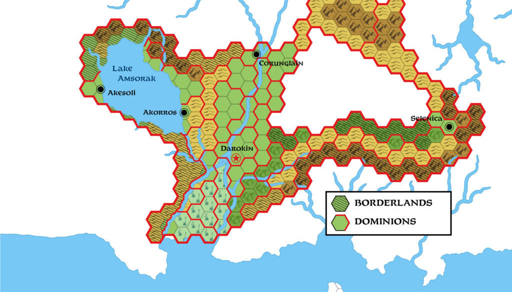
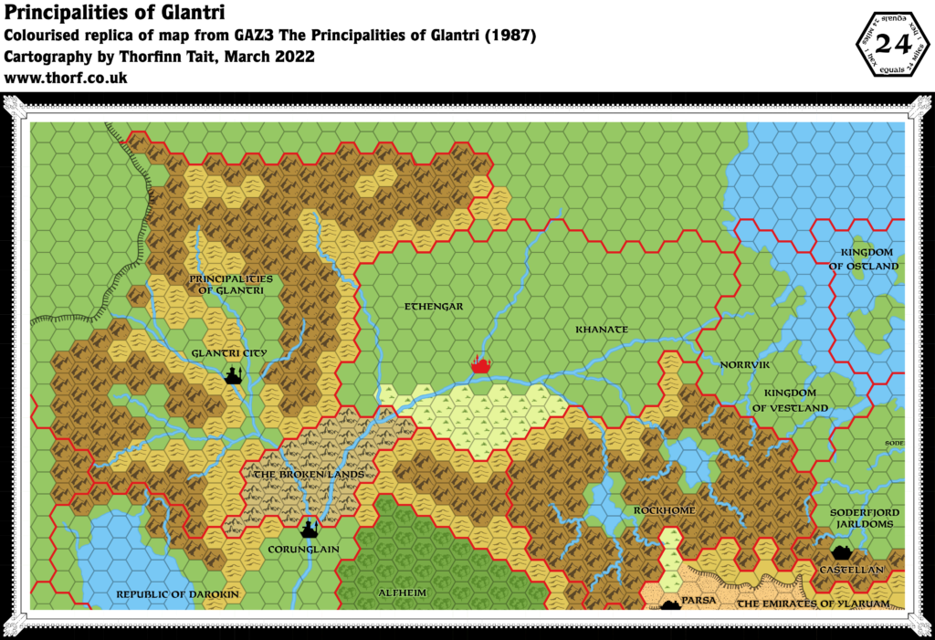
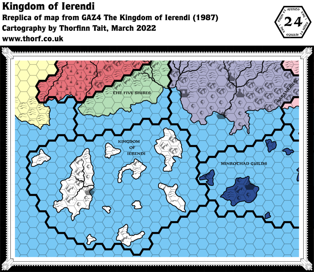
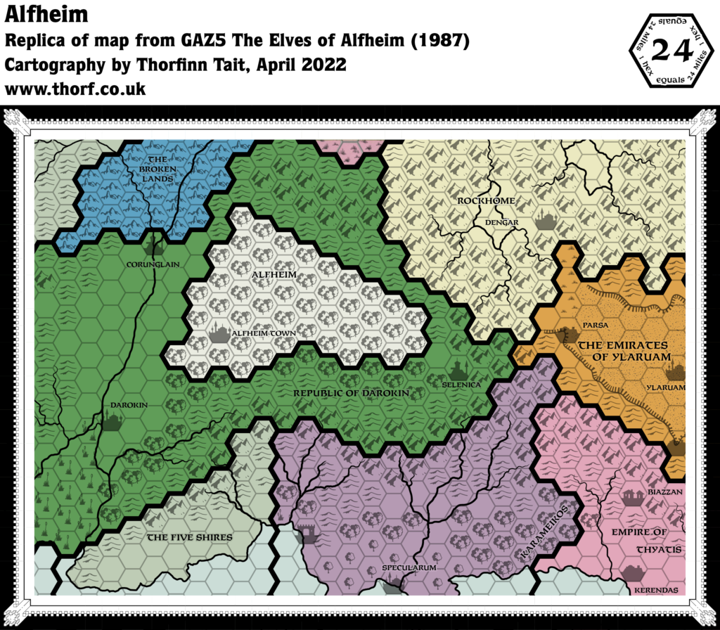
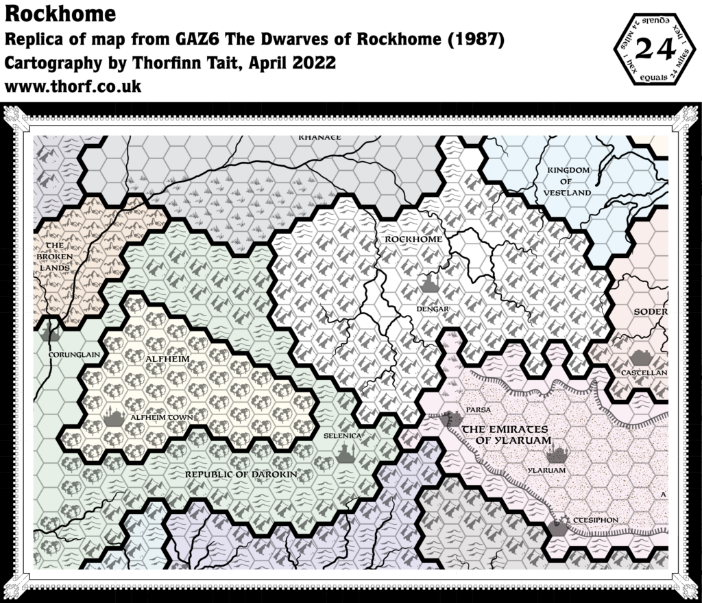
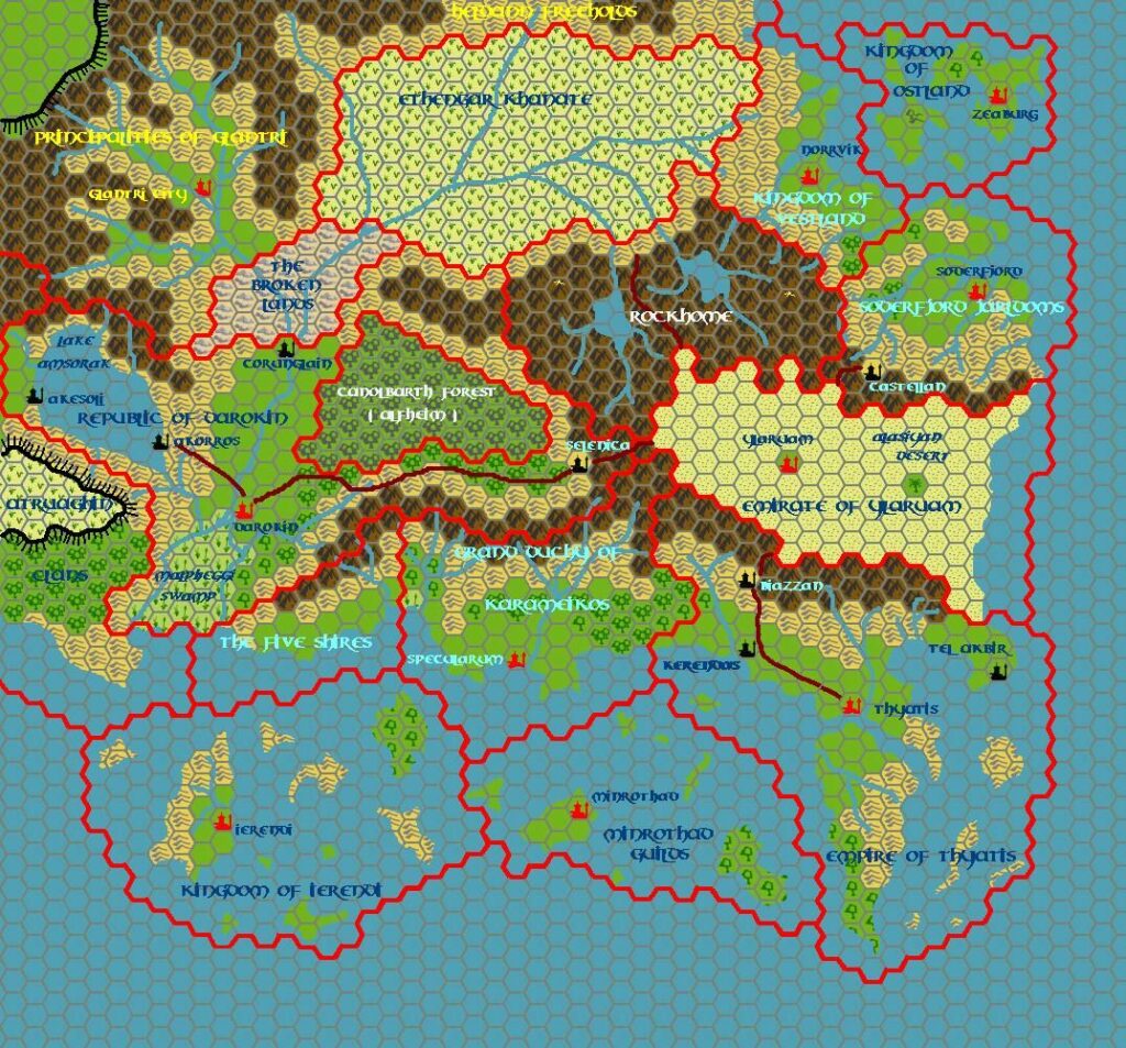
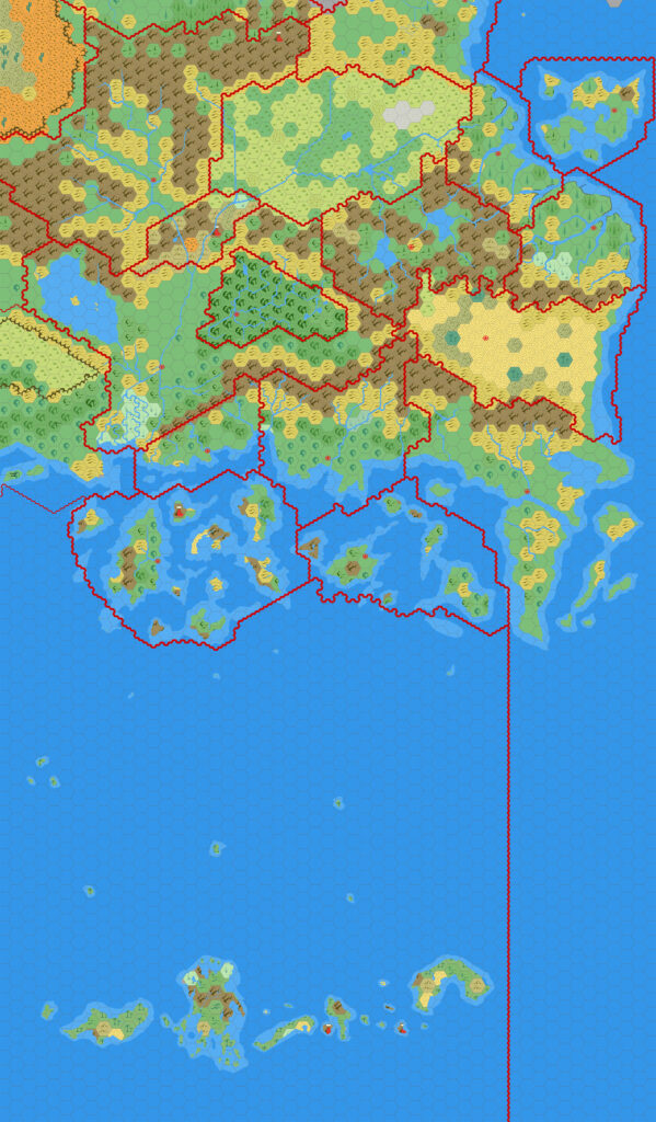
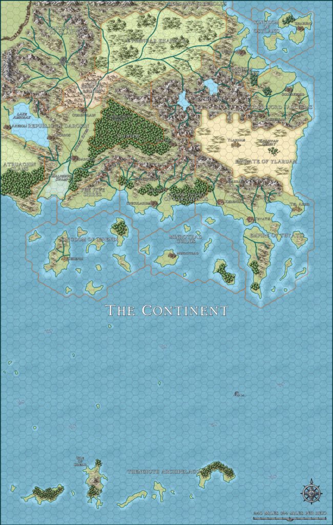
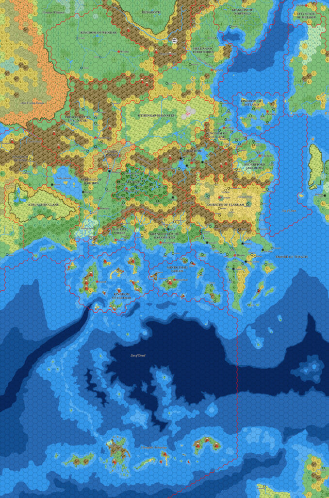
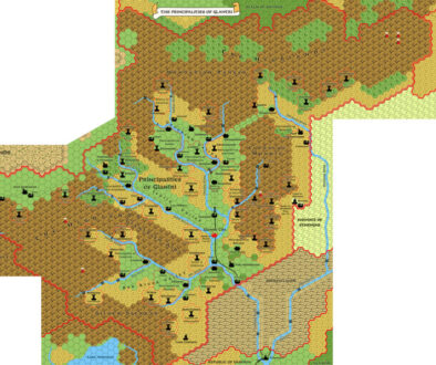
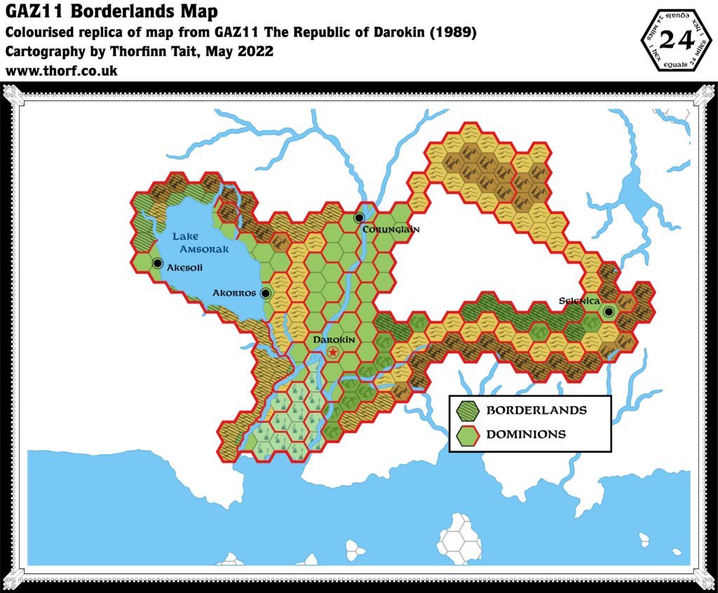
GAZ11 Darokin Borderlands, 24 miles per hex
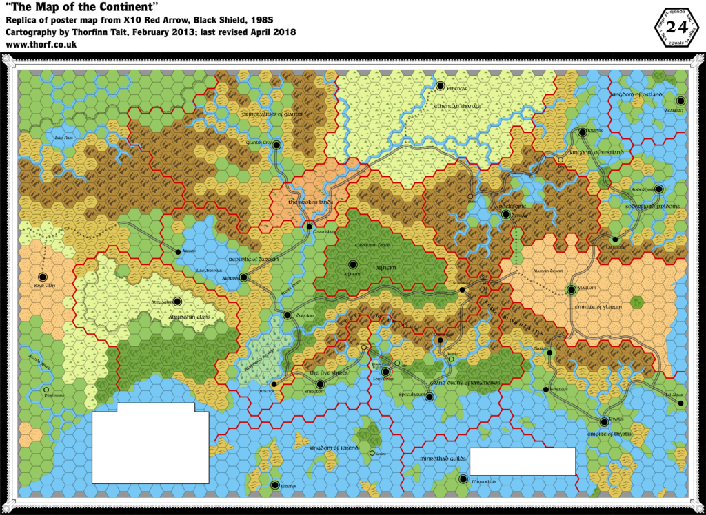
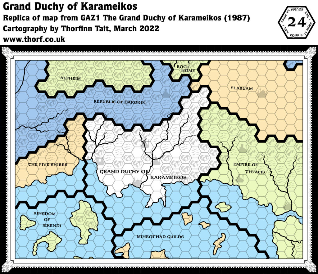
This map from GAZ11’s pages provided one crucial thing that was completely missing from the poster map: the borders for the nation’s dominions, including its borderland areas. These were not referenced anywhere else in the Gazetteer, and no names were given for them. It wasn’t until many years later that a group of fans came up with labels for them. You can see a recreation of the original Darokin Provinces thread from the Wizards Mystara Message board in the Archives section.
Replica Map (May 2022)
Sources
- GAZ11 The Republic of Darokin (1989) (PDF at DriveThruRPG)
- Borderlands Map, Dungeon Master’s Guide page 11 (Cartography by Dave Sutherland, Diesel, Dennis Kauth and Frey Graphics)
Chronological Analysis
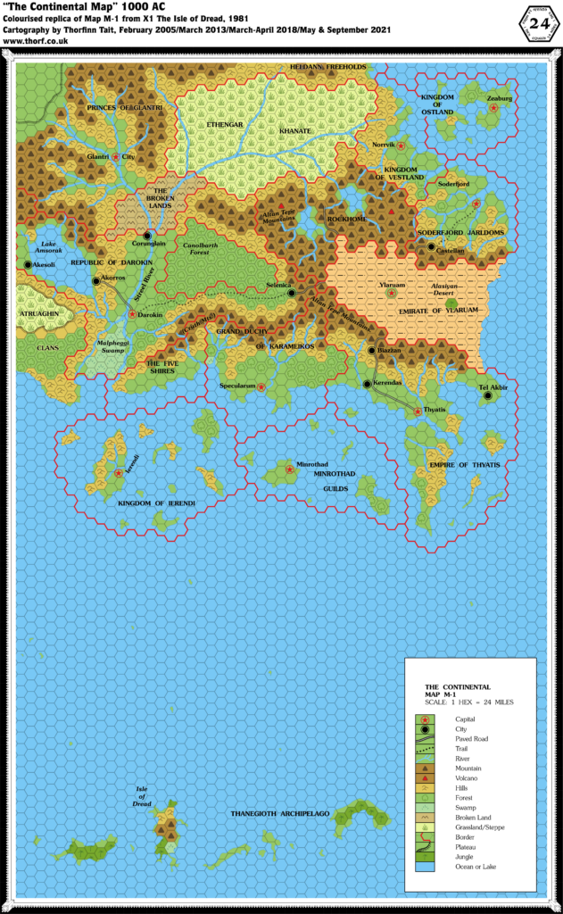
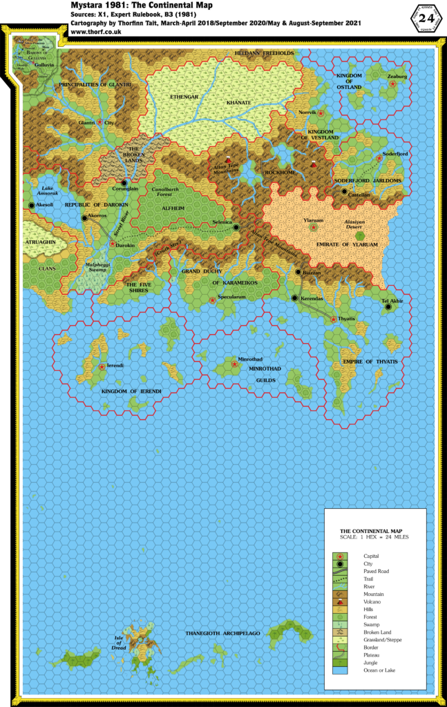
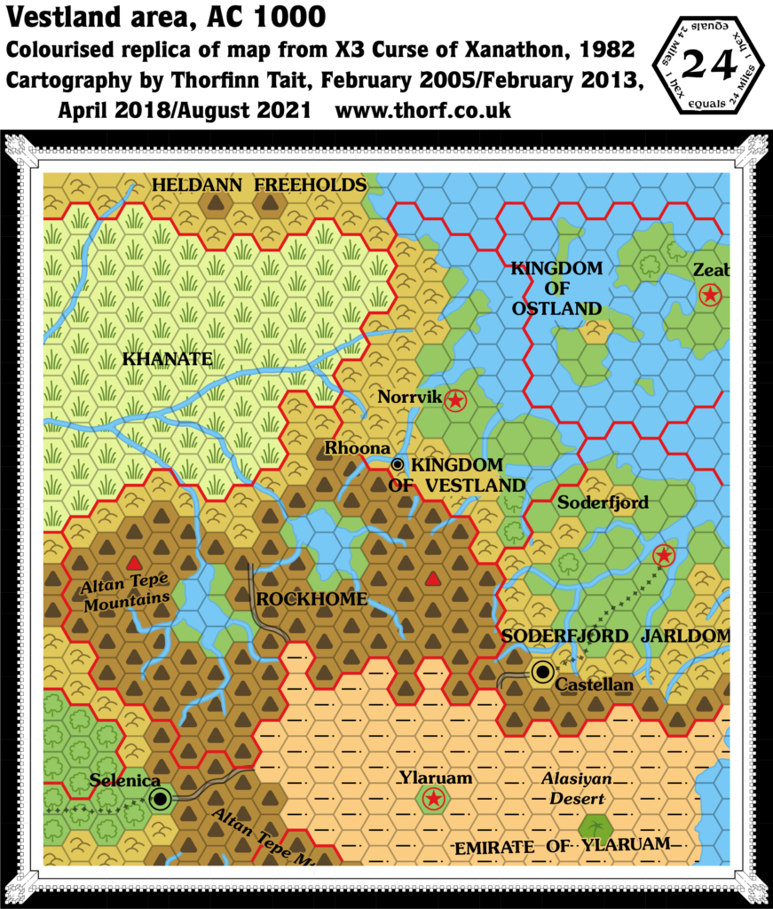
This is Map 109. It was published in March 1989. The updated version of this map is Darokin, 8 miles per hex. See also Appendix C for annual chronological snapshots of the area. For the full context of this map in Mystara’s publication history, see Let’s Map Mystara 1989.
The following lists are from the Let’s Map Mystara project. Additions are new features, introduced in this map. Revisions are changes to previously-introduced features. Hex Art & Fonts track design elements. Finally, Textual Additions are potential features found in the related text. In most cases, the Atlas adopts these textual additions into updated and chronological maps.
Coming Soon

