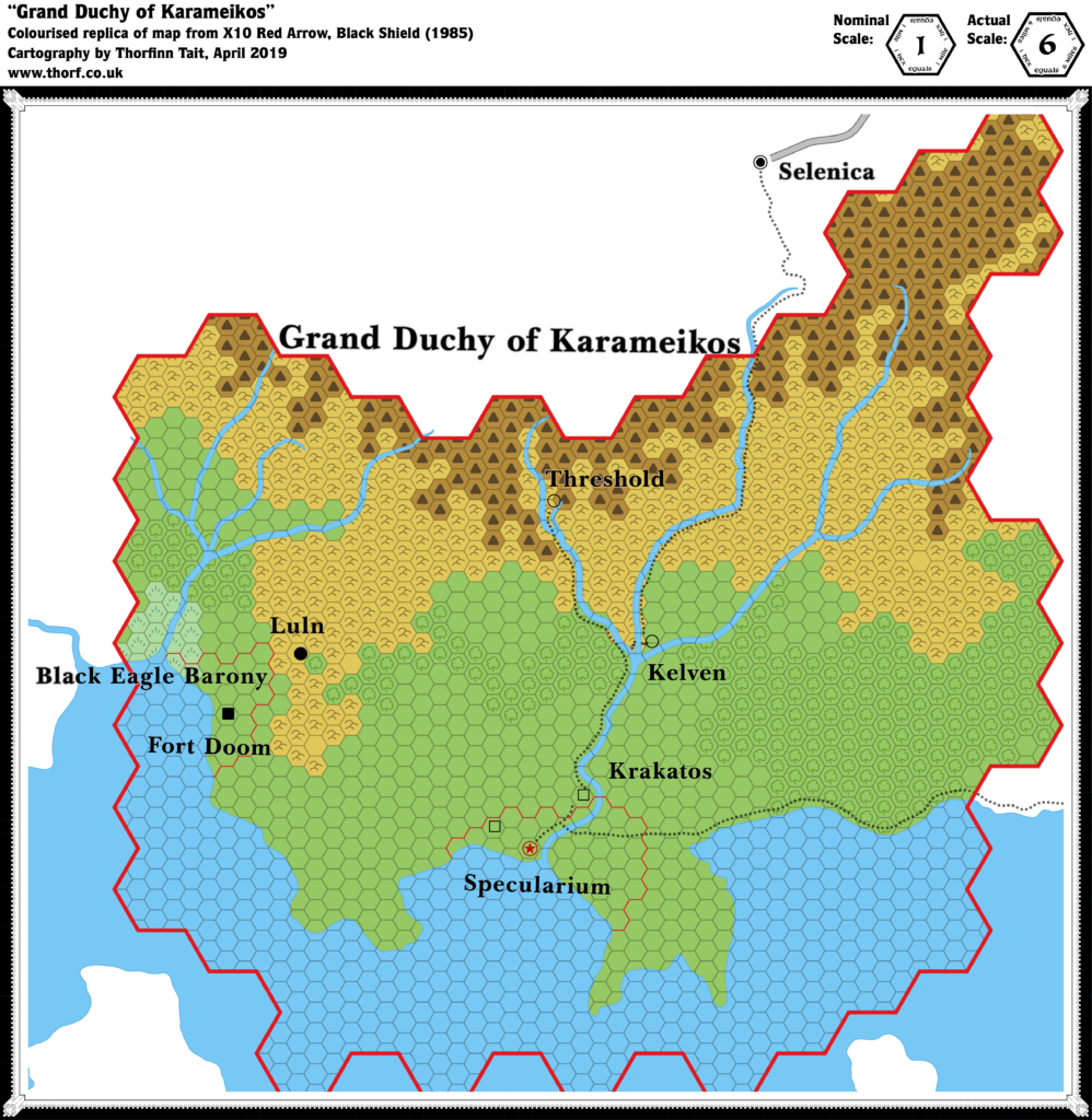
X10 Karameikos, 6 miles per hex
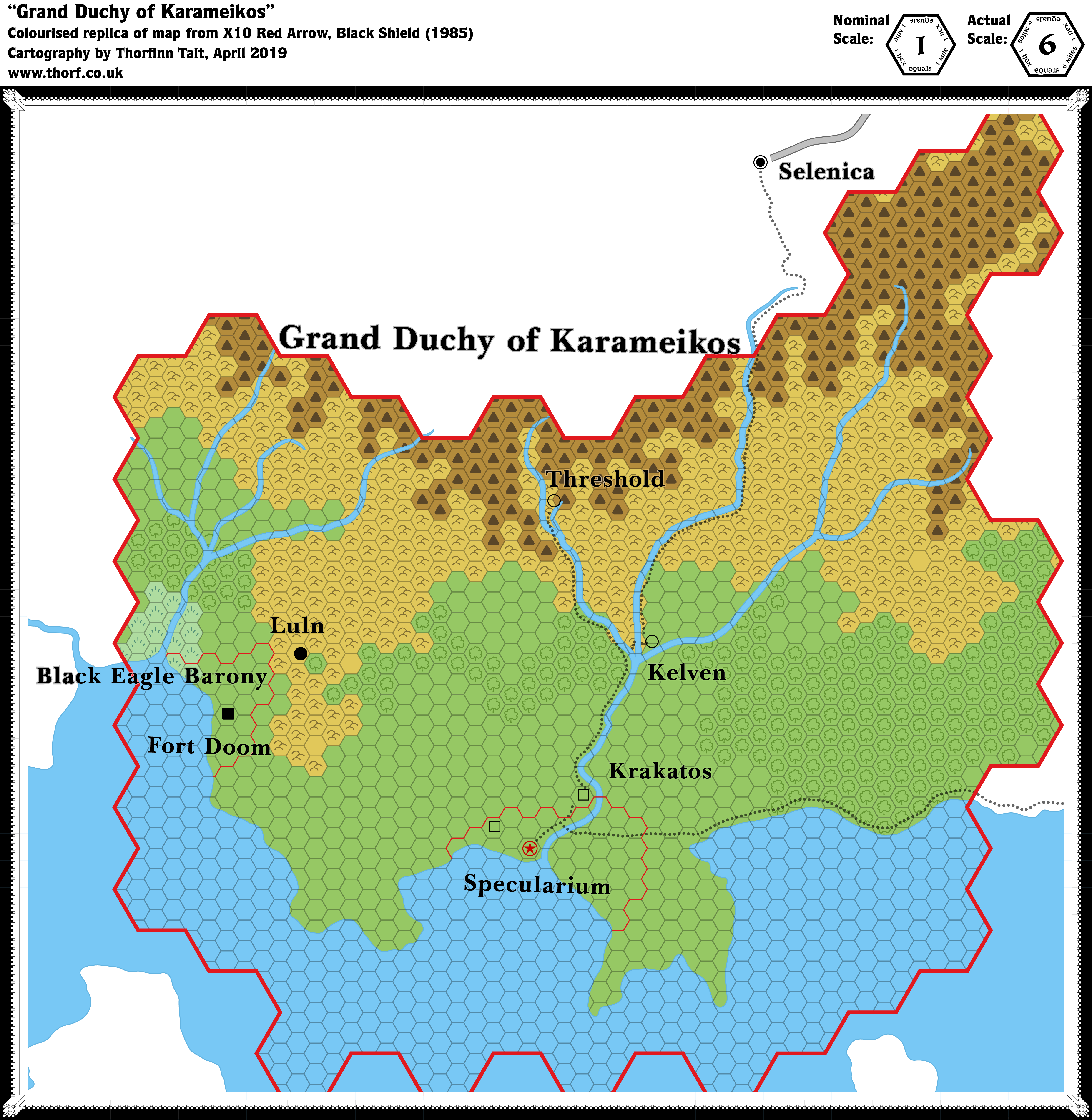
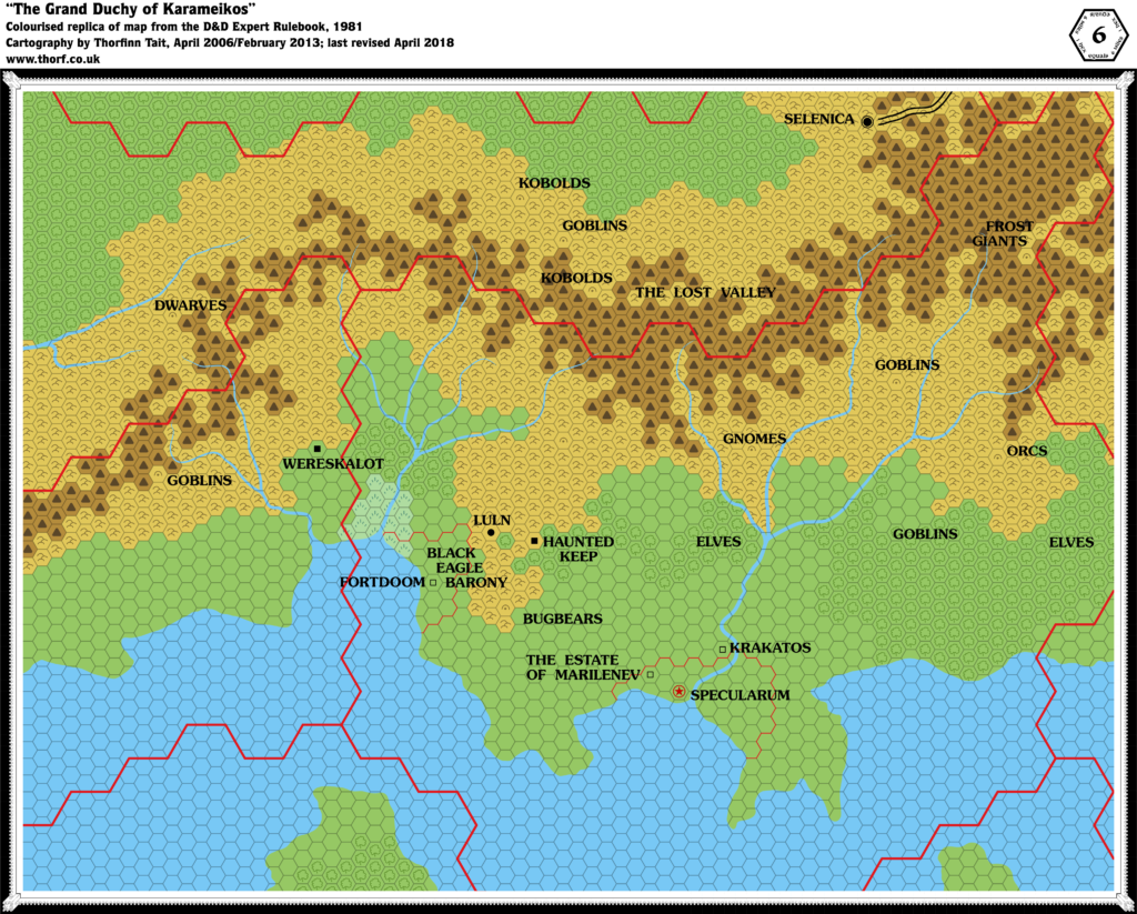
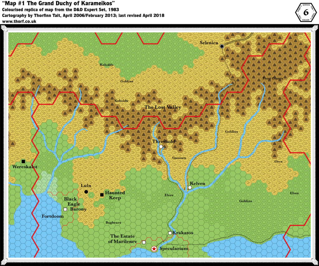
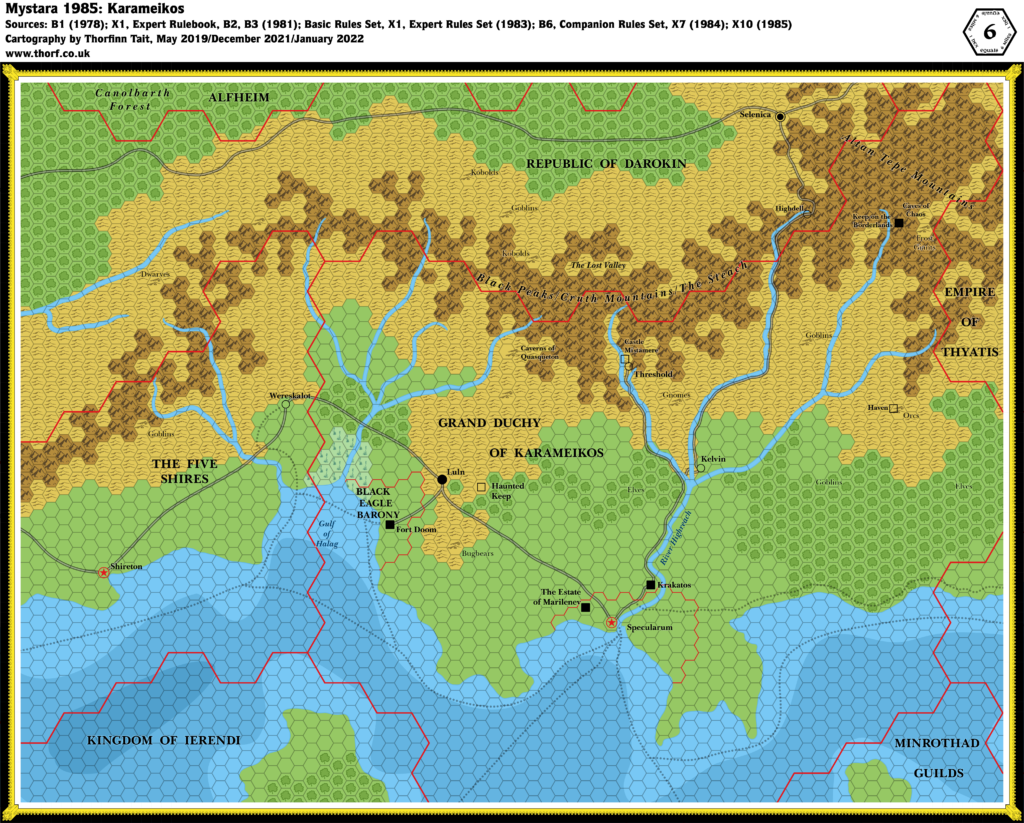
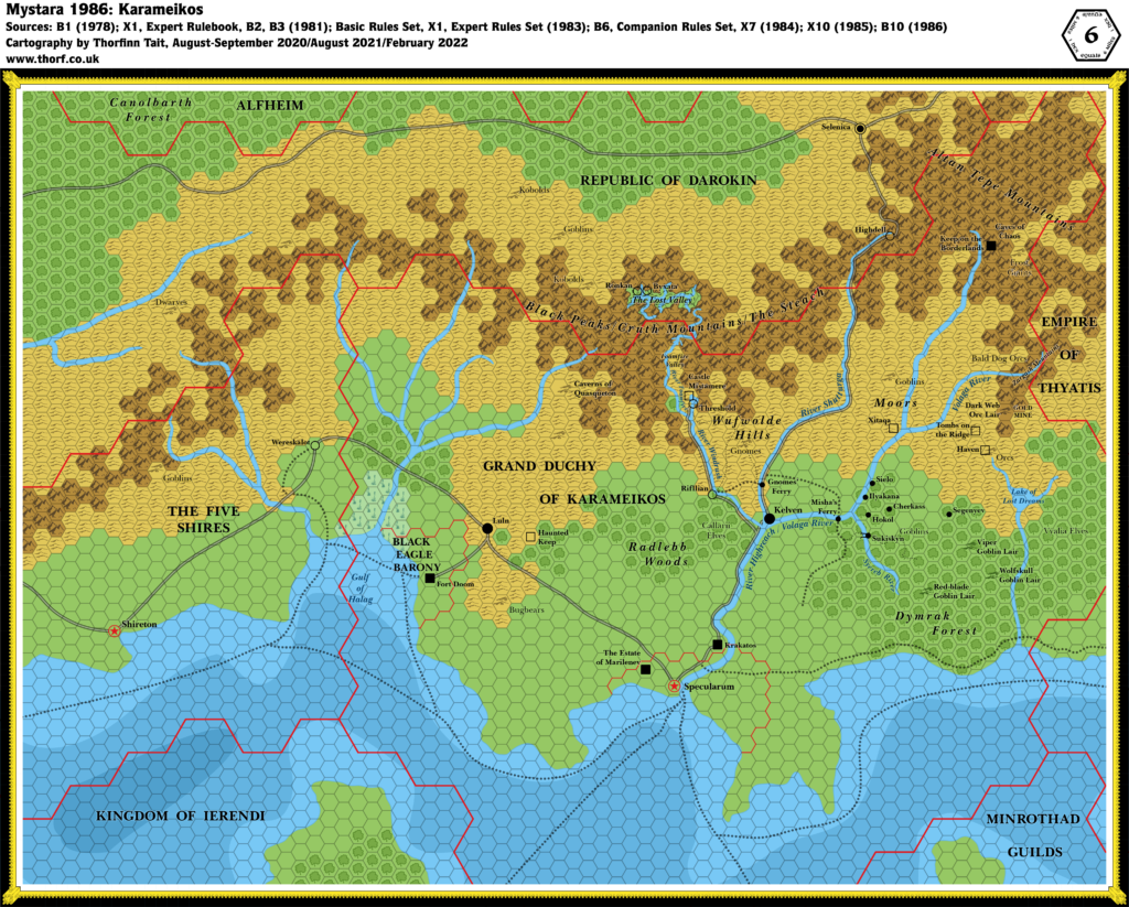
This map of Karameikos was featured in X10. It’s an adaptation of previous maps in the Expert Set (both 1981 and 1983), but with a couple of new errors and no new additions. This one is for completists only — even if you’re running X10, you’d be better off using one of the other versions.
Replica Map (April 2019)
Sources
- X10 Red Arrow, Black Shield (1985) (PDF at DriveThruRPG)
- “Grand Duchy of Karameikos”, p. 15 (Cartography by Dennis Kauth)
Chronological Analysis
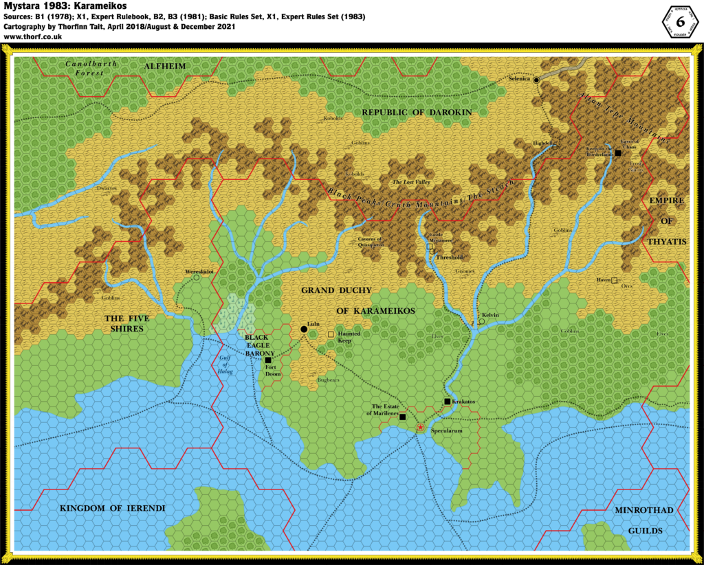
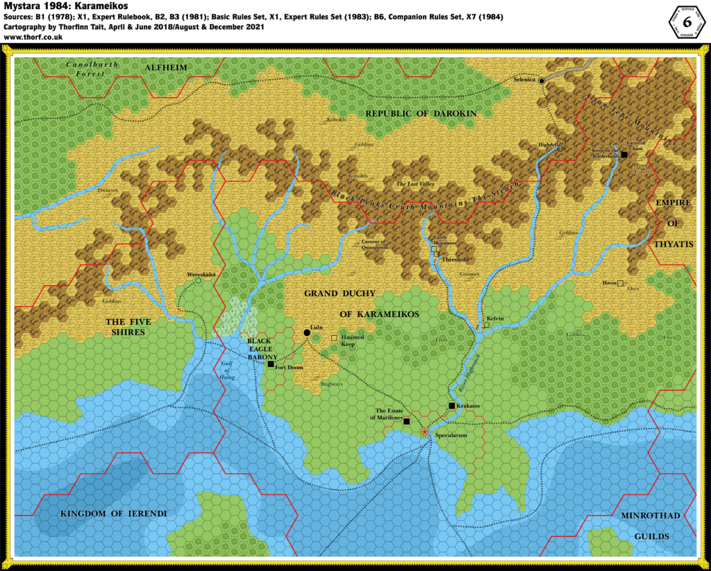
This is Map 39. It was published in November 1985. The updated version of this map has not yet been released. See also Appendix C for annual chronological snapshots of the area. For the full context of this map in Mystara’s publication history, see Let’s Map Mystara 1985.
The following lists are from the Let’s Map Mystara project. Additions are new features, introduced in this map. Revisions are changes to previously-introduced features. Hex Art & Fonts track design elements. Finally, Textual Additions are potential features found in the related text. In most cases, the Atlas adopts these textual additions into updated and chronological maps.
Revisions
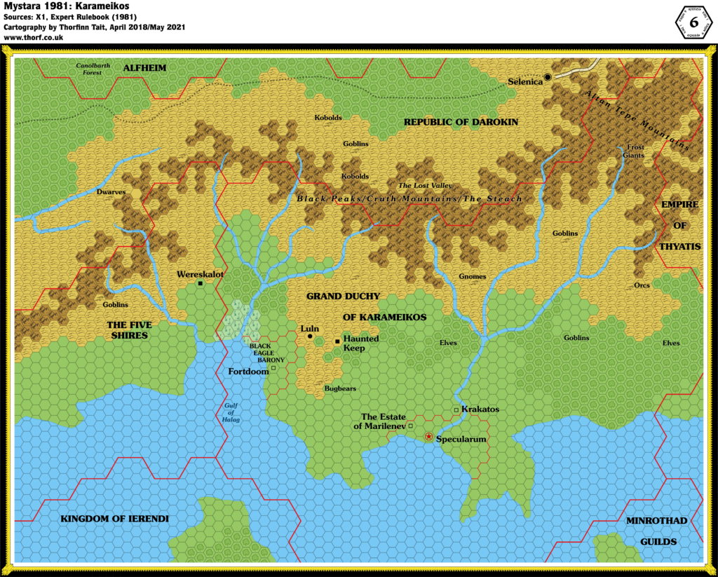
- Borders — The Karameikos border (shown at 24 miles per hex) has been shrunk by two hexes in the east and quite a few sea hexes in the south.
- Scale — The map’s legend includes the note “1 hex equals 1 mile”, but this is patently incorrect, as this is clearly a direct adaptation of previous maps labelled 6 miles per hex.
- Spelling — “Kelven” and “Specularium” both come from the 1983 Expert Set version of this map. Whether or not “Kelven” is an error is ambiguous, as both “Kelven” and “Kelvin” appeared in the text of the Expert Set (1983); the Atlas of Mystara goes with “Kelvin”. “Specularium” is a mistake only appearing on this map and its predecessor.
Hex Art & Fonts
- Fonts — Baskerville.
- New Symbols — None.
Join in the Discussion at The Piazza
Come and join in the discussion about this map at The Piazza, where I am holding a “read through” of the Let’s Map Mystara project.

16 April 2019 @ 1:47 am
Will this map be available on Patreon?
17 April 2019 @ 10:50 am
Thanks for asking! The full map is available right here. 🙂
17 April 2019 @ 8:40 pm
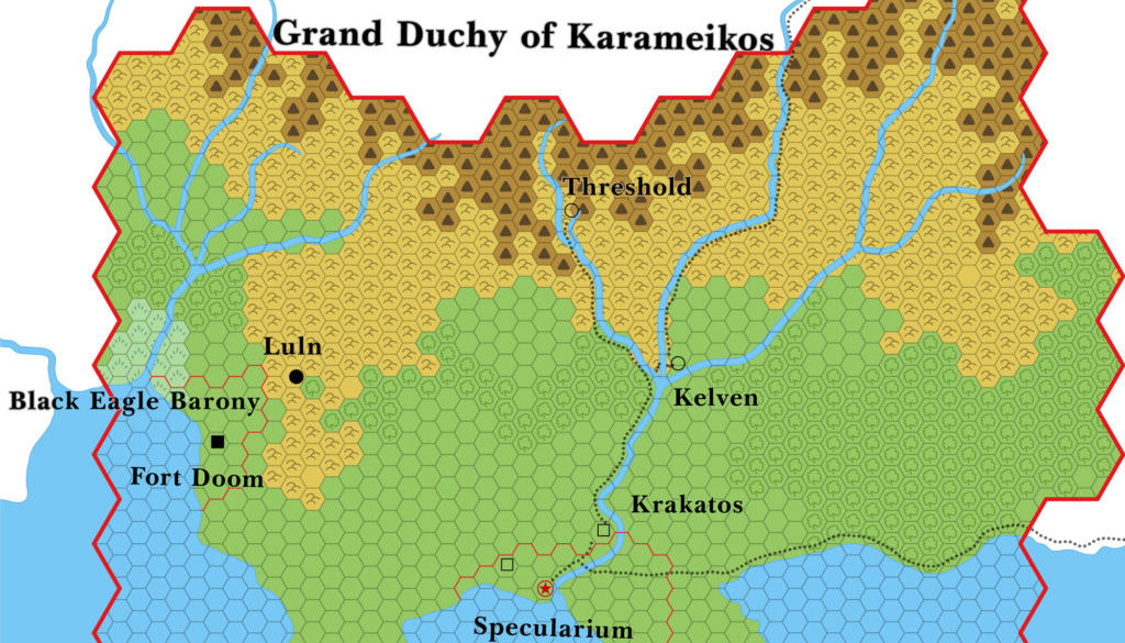
There is a empty square to the west and slightly north of Specularum – the same symbol used for the ruins of Krakatos – but this one is unlabeled? Was the symbol on the original map? If so, so was it unlabeled on the original? If so, any idea what it was supposed to be?
18 April 2019 @ 8:38 pm
It was indeed. Those ruins were marked “Estate of Marilenev” in the 1983 Expert Set version of this map — an ambiguous label that probably applies more to the red bordered area than the ruins. But that leaves the ruins unlabelled.
This state was not clarified until 1987’s GAZ1 map, which changed that symbol to a village and named it Marilenev Village.