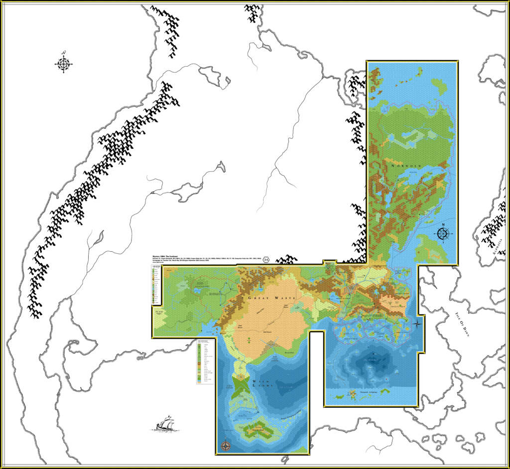
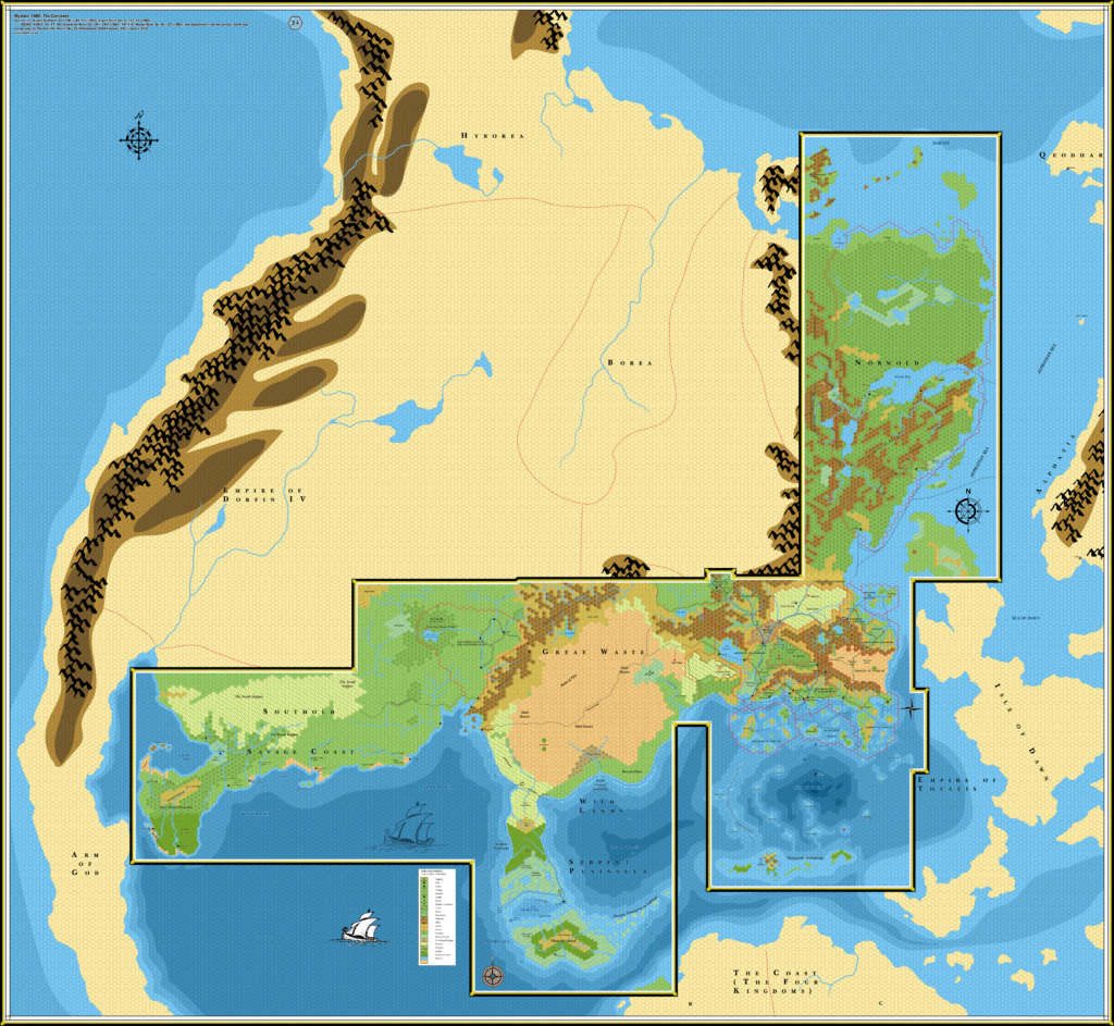
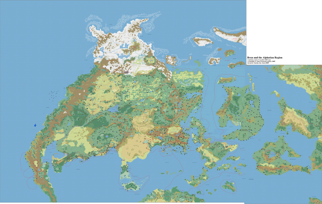
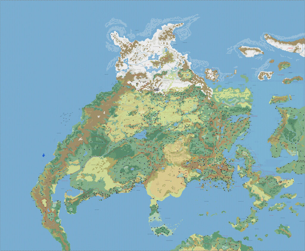
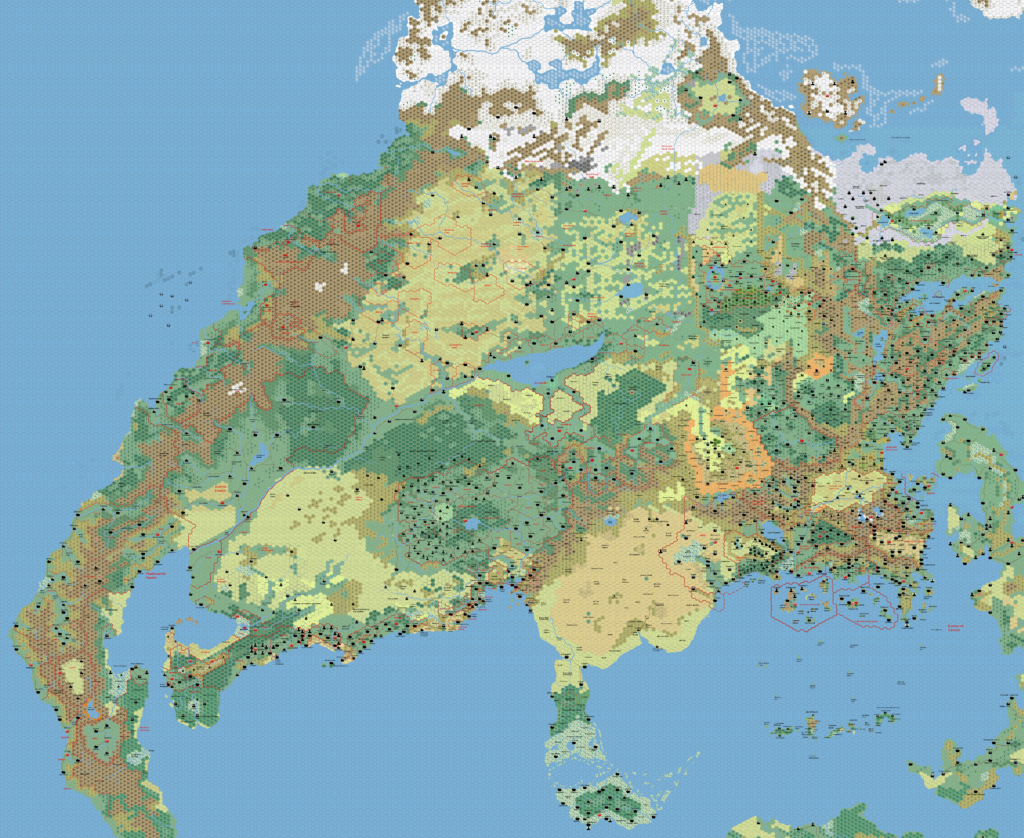
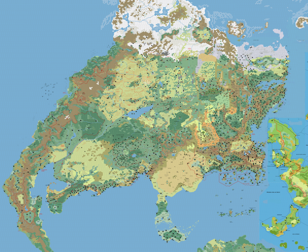
Brun, 24 miles per hex (1986)
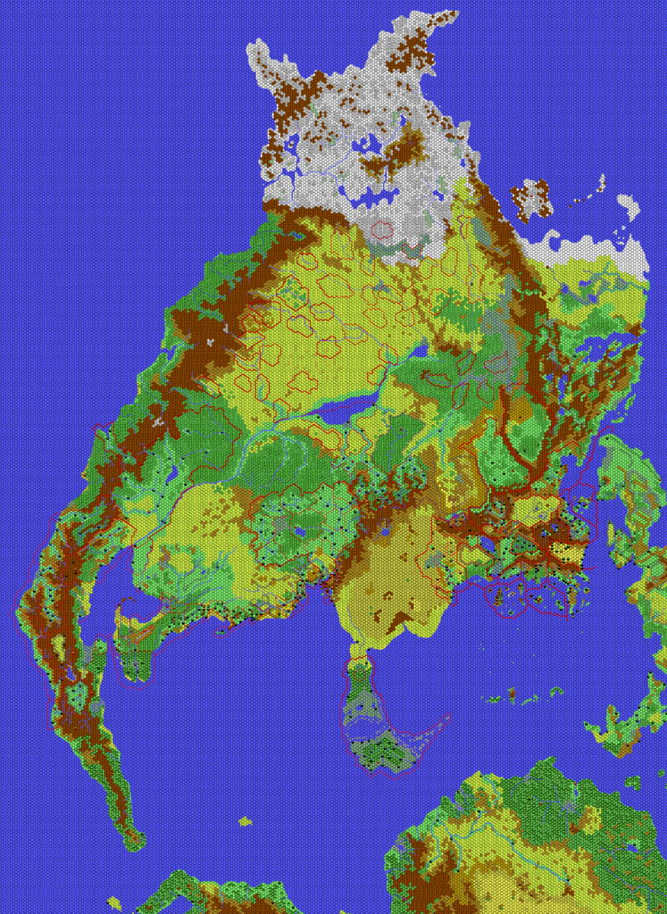
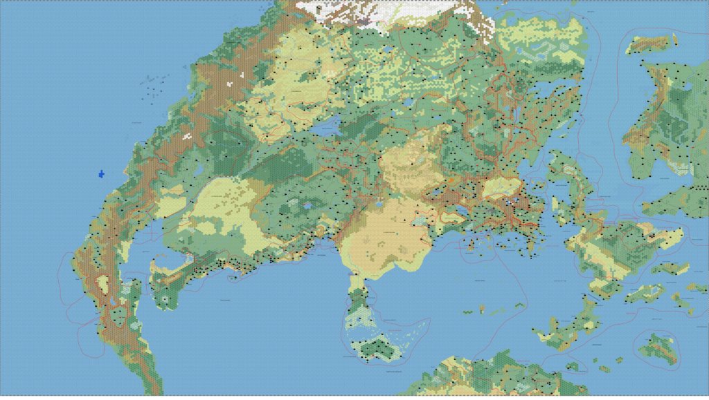
While previous years had seen the gradual addition of new regions to the continental map, 1986 was a year of expanding existing nations. The only new major region was X11’s Wendar and Denagoth, half of which overlapped existing maps. Meanwhile, B10’s Eastern Karameikos maps provided a very detailed picture of that nation, while CM7’s Selinar added another region to Alfheim. It also added the Sylvan Realm in the far northwest of Brun. Finally, M2’s Norwold maps added a few new details there, and also to the Isle of Dawn.
Wendar and Denagoth were problematic as the map not only overlapped but in fact completely contradicted CM1’s Norwold. This issue became infamous among Mystaran cartographers, and I have come to refer to it as the Norwold Conundrum. The solution was to take the best parts of each map and create a hybrid, using X11’s Wendar and Denagoth with CM1’s Norwold. Of course this was complicated by Norwold’s rotation, but the result uses the redrawn Norwold, while the separate Norwold map instead redraws Denagoth to fit its unique rotation.
B10’s expansions to Karameikos are easier to discern on the larger scale maps (for which see Karameikos, 6 miles per hex, Eastern Karameikos, 3 miles per hex, and Foamfire and Lost Valley, 2 miles per hex), but some of the details are major enough to be included at this scale, too. In particular, the rivers and settlements of eastern Karameikos have all been replaced with their B10 versions. CM7’s Alfheim additions follow a similar course, with just the lakes and settlement appearing on this map; Selinar, 3 miles per hex has the whole picture. The Sylvan Realm unfortunately cannot be conclusively placed at this time, and I have only added a placeholder label to this map.
That just leaves M2’s additions, which were rather few, and of course limited to the Norwold region.
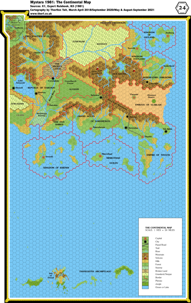
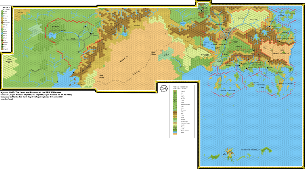
Since 1986 is the last year before the Gazetteer series kicks off Mystara’s major world building extravaganza, I have tried to make this map as complete as possible within the constraints of the chronological map format. This includes smoothing out the sea depths and “filling in the gaps” with what hopefully seem like natural extensions to the officially published areas, and joining up some loose trails and shipping lanes. Due to the nature of the project, it could never be a perfectly complete map, but it should be good enough to be usable for those who prefer this period in Mystara’s history.
Lastly, by popular demand I have produced a variant without the internal map border showing which areas have been officially mapped. At the same time I expanded the hex grid to cover the whole continent. This “No Border” variant is included second below.
Chronological Map (February 2022)
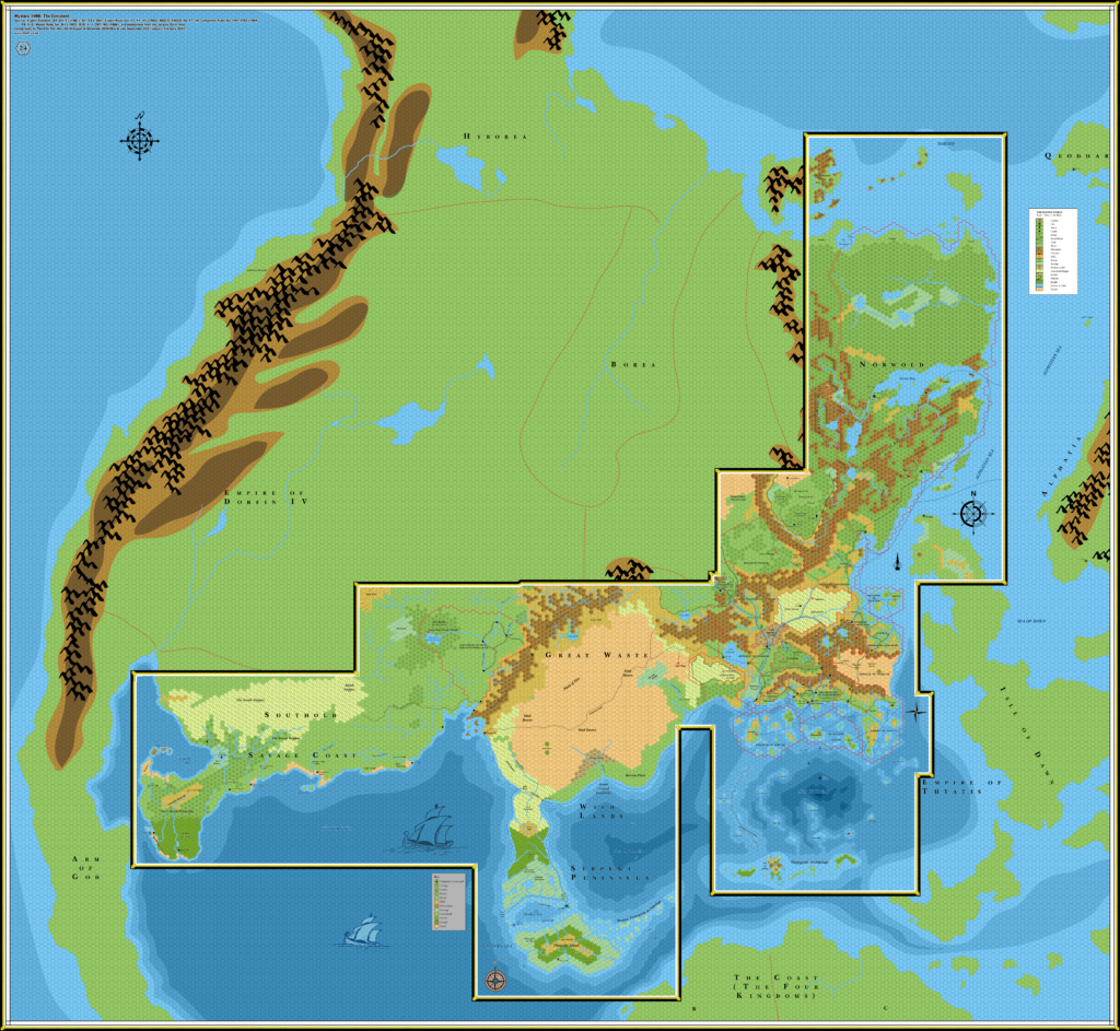
One (or more) of the maps linked to above is a lower resolution version. You can download the full size version using the following link (right click and choose “Save Link As…”).
Mobile Users: Note that it may not be possible to view the full resolution image on your device.
Full Resolution >>> Brun, 24 mph (1986) (300 DPI) <<< Right Click, Save
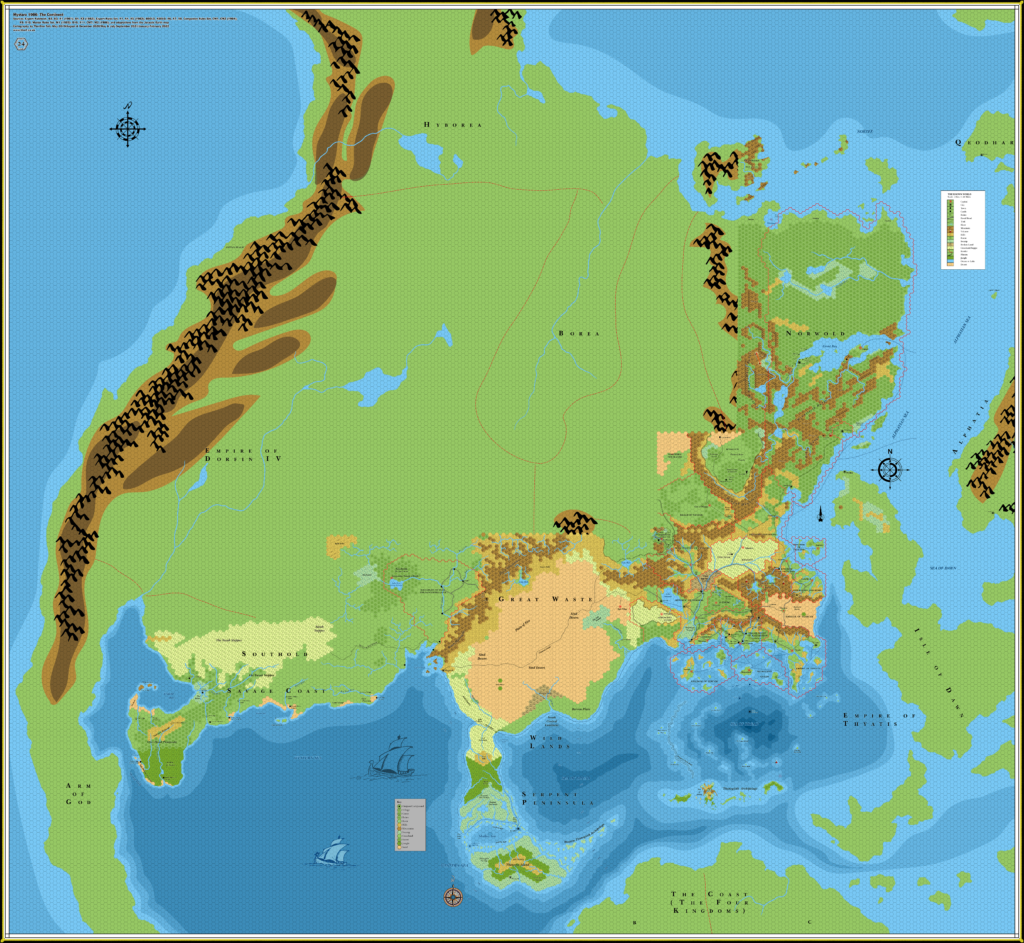
One (or more) of the maps linked to above is a lower resolution version. You can download the full size version using the following link (right click and choose “Save Link As…”).
Mobile Users: Note that it may not be possible to view the full resolution image on your device.
Full Resolution >> Variant (no internal map border) << Right Click, Save
This map is part of the Mystara 1986 series of chronological maps. It is an updated map, incorporating all available sources and made internally consistent with other maps in its series. But it only uses sources published in or before 1986.
For more information, see Appendix C: Cartographic Chronology.
Sources
- Mystara 1985
- B10 Night’s Dark Terror (1986) (PDF at DriveThruRPG)
- X11 Saga of the Shadow Lord (1986) (PDF at DriveThruRPG)
- CM7 The Tree of Life (1986) (PDF at DriveThruRPG)
- M2 Vengeance of Alphaks (1986) (PDF at DriveThruRPG)
Revisions
For detailed notes, see the posts for each individual source map at the links above.
- Depths — All depths outside the bounds of officially mapped areas are either adapted from the Jurassic Earth map, or intuited by extending the existing shapes in a logical manner to fill the gaps.
- Roads & Trails — I have joined up some trails and shipping trails that were dangling open. Two examples are the shipping lane between the Northern Reaches and Heldann, and the one along the coast of Atruaghin leading past the Great Waste.
References
- WIP Map: Brun 1986 (June 2021) — post at Patreon introducing this map
- WIP Map: Known World 1986 (August 2021) — post at Patreon about tidying up the sea depths
- Updated WIP Map: Brun 1986 (September 2021) — post at Patreon presenting the redrawn Norwold
- Updated Map: Brun 1986 (September 2021) — post at Patreon with another WIP version of the map
- Custom Map: Brun 1986 with no border (June 2021) — post at Patreon introducing the variant with no map border
- Custom Map: Brun 1986 Black & White (September 2021) — post at Patreon presenting a greyscale version of this map
- Let’s Map Mystara 1986 — the original project thread for this map
- Let’s Map Mystara Together discussion thread at The Piazza (link leads to this map’s post)
- Brun at the Vaults of Pandius
Thanks to:
Paul Dupuis, Gordon Fancher, Matthew Fenn, Travis Henry, Michael, Fabrizio Nuzzaci, Thibault Sarlat
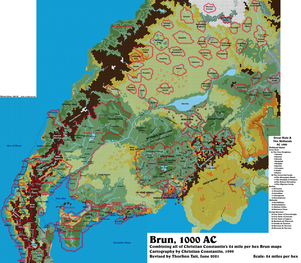
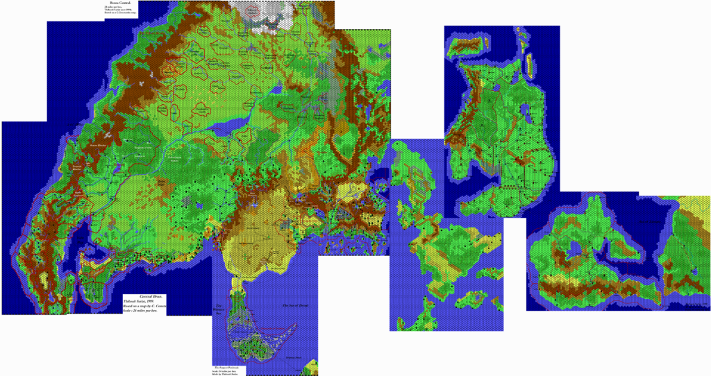
Past and Future Versions of this Map




17 July 2025 @ 9:44 pm
Is there a version of this at 8 miles per hex? Possibly with the details of the Sind Desert and the Savage Coast?
12 October 2025 @ 9:11 am
The 8 miles per hex scale didn’t debut until 1987, so I won’t be making maps at that scale for 1986 maps.
Sind never got officially mapped at that scale, though I have released my own version here.
The Savage Coast was mapped in Dragon and Red Steel, and I have it as three maps: Gulf of Hule, <a href=”https://mystara.thorfmaps.com/savage-coast-central-8/” title=”Savage Coast Central Region, 8 miles per hex”>Central Region, and Trident Bay.
Are you perhaps interested in blank versions of these maps, with just the terrain?